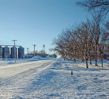
Planning for a street reconstruction project most often begins where you think – on the ground. In the small, northwestern Wisconsin town of Barron, however, winter often decides to show up early.
Roadways become a messy mix of snow, slush and salt. Many of the defining and structural features of a landscape—ones necessary to design and position elements of a street and utility reconstruction project—are suddenly obscured.
Yet, the timeline for completion remains the same. So, how does the project team proceed? They take to the sky.
The view from above
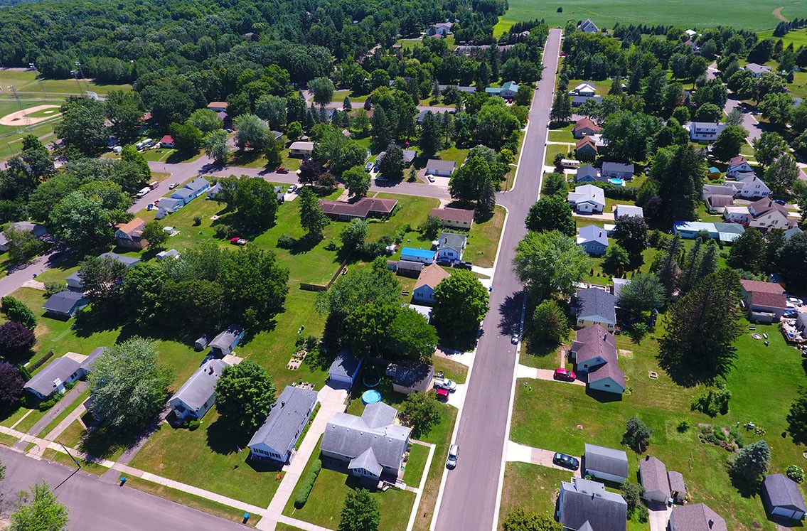
Drones, or small Unmanned Aircraft Systems (sUAS), are the latest solution to collecting data and providing surveying assistance for projects in communities with more variable seasonal weather. UAS allows for the collection of essential footage and imagery from any angle, in any location. It also offers a more comprehensive understanding of the project site and a means to envision a project’s potential—literally and metaphorically gaining a broader perspective—from up in the air.
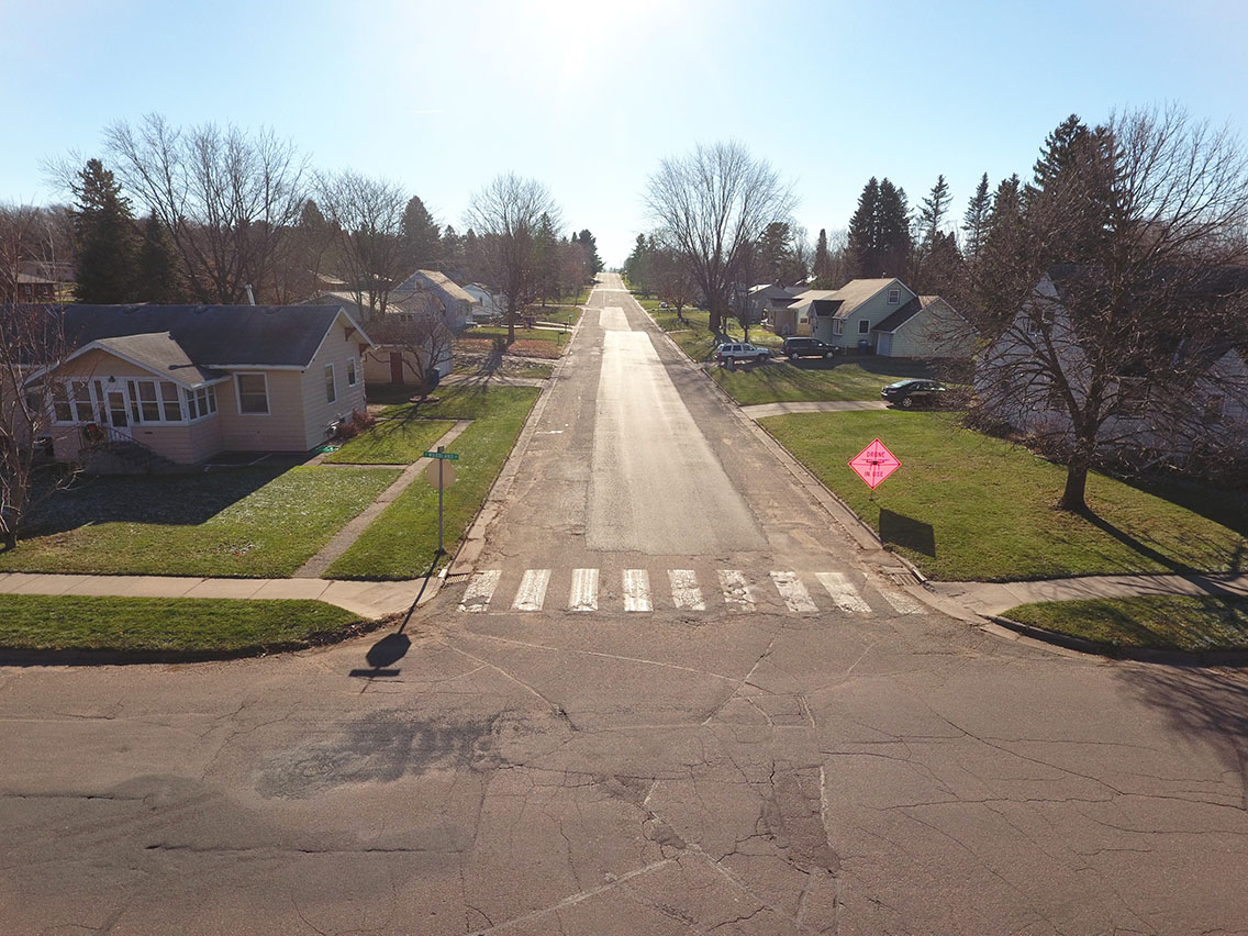
When the City of Barron recognized the need for reconstruction work on South 3rd Street, South 6th Street and a portion of South Oak, the Request for Proposals arrived on the cusp of winter. It included an appeal for a topographic survey of streets and utilities, “critical to obtain prior to inclement weather and best completed before snowfall.”

The timeline for completion was shrinking by the day.
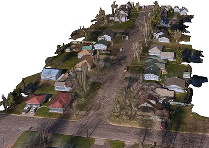
However, with the deployment of the MSA Aerial Solutions team, we were able to complete full aerial reconnaissance of the streets and intersections, capturing photos to stitch together with software into a three-dimensional model of the project area. This, paired with a more traditional boots-on-the-ground topographic survey, allowed our team to most comprehensively and efficiently gather data before the snow fell. Street design and reconstruction preparation commenced shortly thereafter, ready in time for construction first thing in the spring.
A closer look
The full project scope included site surveying with accompanying soil borings, the replacement of sanitary sewer, water main and storm sewer lines as well as reconstruction of the roadway. The roadway itself included a granular and gravel subbase with new 36-foot wide asphalt pavement overlay and 1,550 linear feet of 30-inch curb and gutter. A similar length of six-inch water main and eight-inch sanitary sewer lines were replaced, along with 1,925 linear feet of storm sewer line. Oak Street improvements included increasing storm water inlet capacity by removing two undersized inlets and replacing them with four inlets, in addition to spot repairs of the roadway adjacent to the inlets including sand, gravel, curb and gutter and asphalt pavement.
The perfect balance
In the case of Barron, the late-season, $700,000 project was successful, in part, due to the use of the aerial piloting team, giving MSA the ability to design the entire reconstruction project in just under six weeks’ time.
Applying drone-based technology to the design of any project can provide new, previously unknown insights and perspectives. Paired with more tangible, microscopic capabilities on the ground, it offers a complete and more balanced vantage for project success. After all, when you change the way you look at things—the things you look at change—and sometimes that’s exactly what we need.

