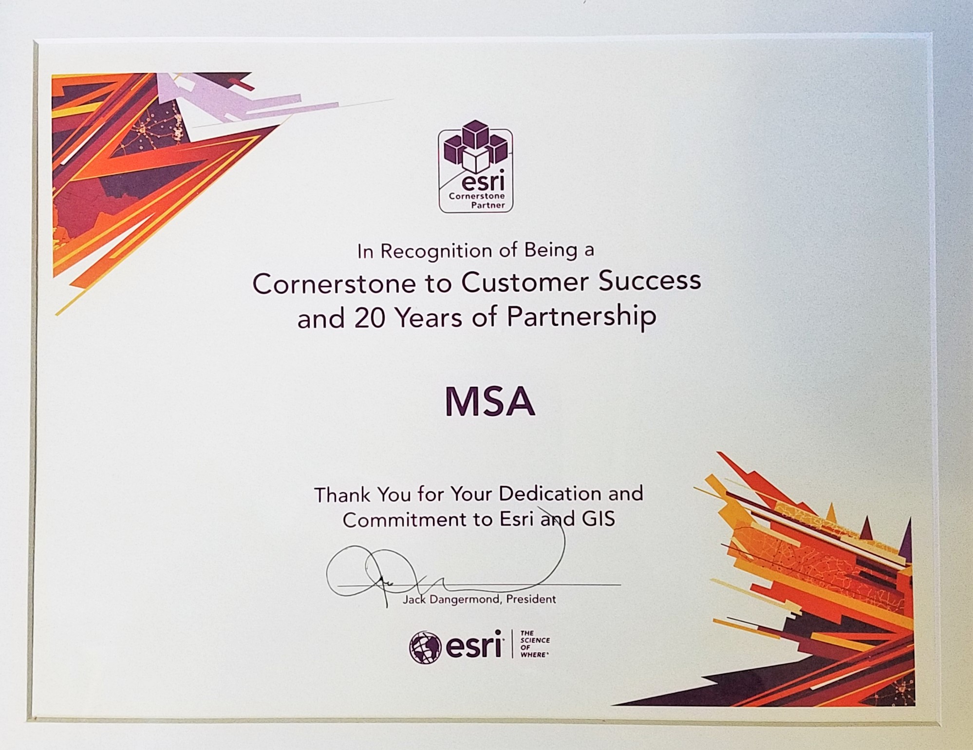
Meet Todd Halvorson, GIS Solutions Administrator at MSA and one of the longest-standing users of the Esri platform in the state of Wisconsin. Todd’s career spans over 35 years, 25 of which have been at MSA. In 2019, he and MSA were honored to be recognized as a 20-year Esri Cornerstone Partner by Esri founder Jack Dangermond.

Halvorson joined MSA in 1998 as a GIS Services Manager. He spent six years prior serving as the Director of Land Information in Columbia County, Wisconsin, where he led the county’s initial GIS and land records modernization efforts. Shortly after joining MSA, Todd recognized that the company would find great opportunity and benefit from becoming an Esri partner. He initiated the start of that partnership, which conveniently also provided MSA access to Esri’s complete suite of GIS software tools. It was the beginning of a long and fruitful relationship.
The Esri-MSA Partnership
For those outside of the GIS industry, Esri is the global leader in geographic information systems (GIS), and has been referred to as the Microsoft of GIS platforms. Founded in 1969 in Redlands, California, Esri now provides services from 49 offices worldwide. Their pioneering mapping and analytics platform, ArcGIS, is the heart of the Esri geospatial cloud and is common parlance in many households, offices, schools and universities.

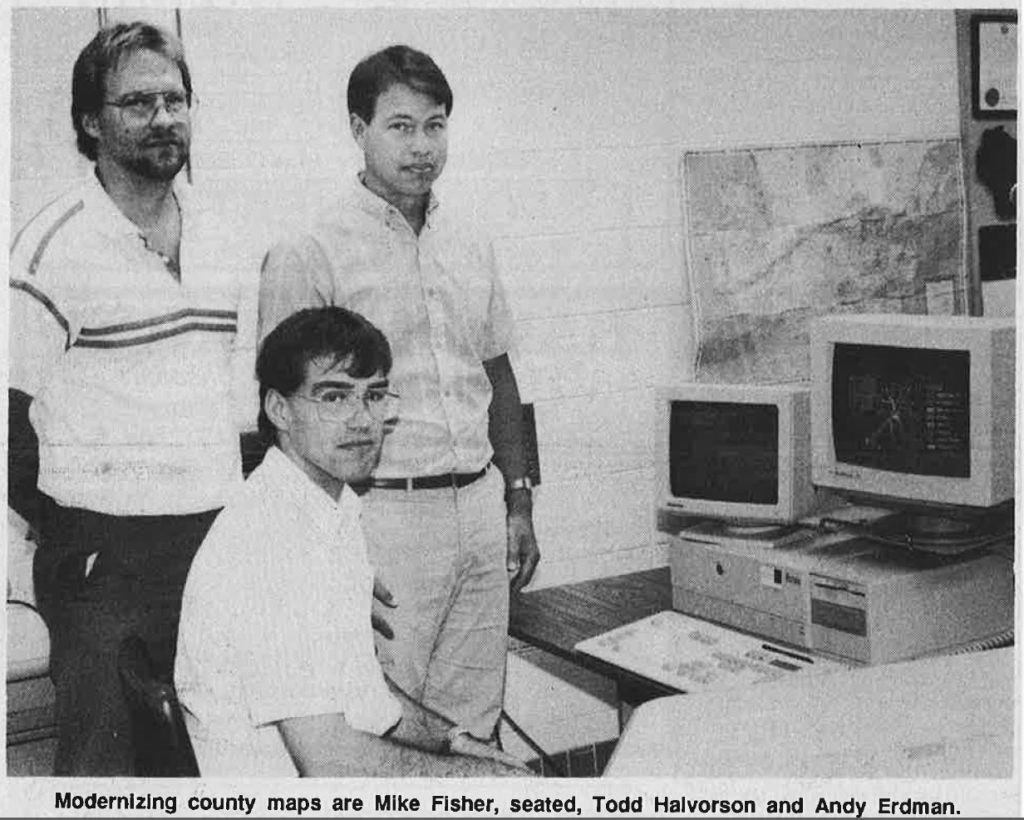
Todd Halvorson pictured upper left. Image courtesy of the Wisconsin Land Information Association.
Halvorson is greatly responsible for helping to implement and grow GIS services at MSA. “In the late 1990s, these services were mainly focused on developing GIS layers and databases in large municipalities and counties,” recalls Todd, “so early projects included creating parcel layers, survey section work and GPS work, which were still fairly new processes.” MSA was hired during this time to create parcel layers in Green, Adams, Columbia and Iron counties in Wisconsin, along with a few others along the way. Most of the municipal GIS projects involved creating accurate sewer and water maps and incorporating the newly available parcel layers in as base maps. It was during this time that MSA built its first “application” to allow the non-GIS user the ability to look up tax parcel information at the county level. Being pre-internet, the “app” was installed as a piece of software that could search by GIS attributes from assessment data.
In 2003, MSA provided its first application-based services for clients, and the next year, began creating customized apps for communities, tailored to meet more targeted needs. When Esri first decided to expand from its desktop applications to online, web-based GIS, MSA was quick to follow suit, recognizing that online platforms would be able to provide a new and elevated level of access and sophistication to clients.
“Being an Esri partner during those transformative years allowed us early access and the ability to introduce new innovation to the industry,” commented Halvorson. “We got a first glimpse of all the cool stuff that was coming onto the market and we knew that communities and markets across the spectrum would benefit. It was a pretty exciting time.”
ArcGIS Online was first utilized at MSA in 2014, and in 2015, the firm officially earned ArcGIS Online Specialty status, the first designation in the state of Wisconsin. MSA is a proud Esri Partner Network Member and has been steadily growing its GIS and asset management offerings.
Todd still plays a significant role in the effort and provides big-picture guidance to a team of more specialized GIS professionals. His expertise includes providing GIS solutions that include Trimble GPS technology acquisition, database design, mapping and ArcGIS Online system development. He frequently assists clients with the implementation of this technology and most recently, has been part of MSA-led GIS user group sessions, which gets clients together to talk about technology, enhance their training, exchange ideas, and learn about new ArcGIS system features, management, designs, maps and mobile app developments.

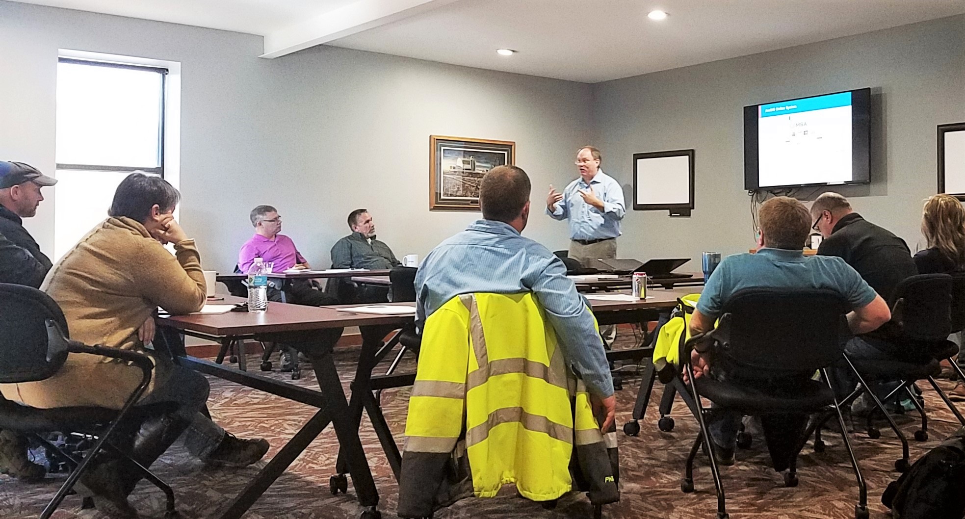
Todd Halvorson speaking to a GIS user group in Rice Lake, Wisconsin.
What is trending in GIS?
There are many helpful and topical applications happening right now, with a seemingly endless amount of opportunities still to come. GIS is currently being used for asset management to track the location, condition, performance and life cycle of things like municipal infrastructure, utilities, park and recreational assets, ADA and right-of-way compliance, and stormwater, wastewater and sanitary sewer systems. It is also being used for public safety initiatives, facility management, operation and security, as well as for capital planning and economic development efforts.

“The ArcGIS Online cloud systems continue to expand with new functions and tools added each quarter,” comments Todd, “and we have some wonderful talent at MSA that can take advantage of it.” Asset Management use will continue grow and application requirements will become more complex as we begin to look at apps to support wastewater and water treatment plants. “We help clients realize the value of GIS beyond just the map,” Todd continues. “More sophisticated abilities to collect and analyze data within these systems offers an increasingly efficient, effective way to help communities with capital planning and prioritization efforts. And, mobile apps are getting easier to use and provide more integration with GIS systems. I feel the best is yet to come!”
Todd Halvorson has spent the entirety of his professional career working diligently to improve and enhance the way communities, counties and municipal agencies function. He applies this drive and expertise to consistently helping MSA grow and evolve its GIS capabilities along the way. Indeed, the best is yet to come. Thank you, Todd!
Learn more about the variety of ways MSA’s GIS team can help your community organize, prioritize and improve its valuable assets by contacting us today.
