Urban forestry management recognizes trees as a critical part of urban infrastructure. Unlike many other components of public works, trees actually increase in value over time when properly maintained.
Similar to the complexity of managing sewer pipe networks, taking inventory of urban forests requires much of the same preventative maintenance and just as much attention. Yet, forest management is often under-supported when fiscal planning season comes around; most municipalities are only able to dedicate 1-2% of their total operating budget toward tree health and maintenance.
This is why communities are turning to GIS for solutions. GIS is able to collect, organize and plan for urban forest maintenance in the most efficient, cost-effective way yet.

How can GIS help?
Visualization.

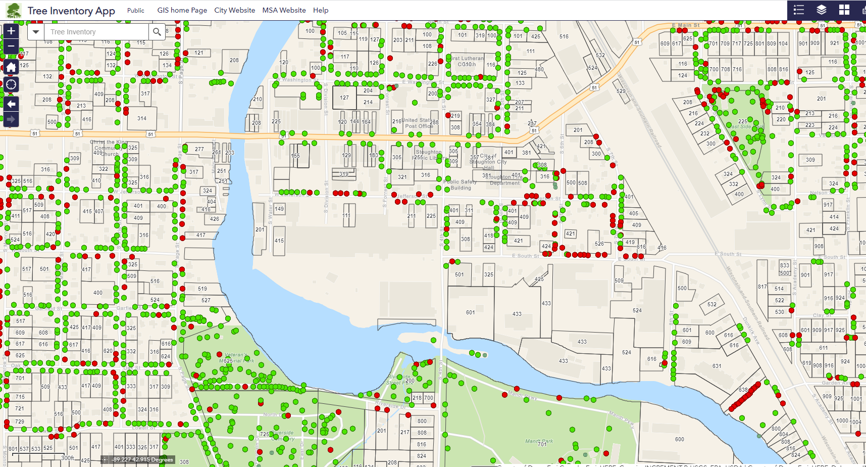
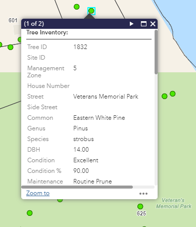
Seeing a map of all community-owned trees provides a detailed, real-time understanding of the inventory and needs of the urban forest. Created with an ArcGIS-based application, these maps plot each individual tree in a coordinate-specific location, assigning it an individual ID number, management zone, and noting its genus, species and common name. Mapping trees in this manner provides users the ability to view data from any smart or mobile device with real-time accuracy that is difficult to attain using spreadsheets. It allows foresters, arborists, public works staff, and even citizens to track plantings, cuttings, maintenance and patterns of interest or concern in an efficient manner—staying ahead of upkeep rather than behind. In addition, the ability to spatially visualize trees helps decision-makers and residents better plan for and understand what actions need to be taken to keep the community’s tree stock healthy.
Maintenance.

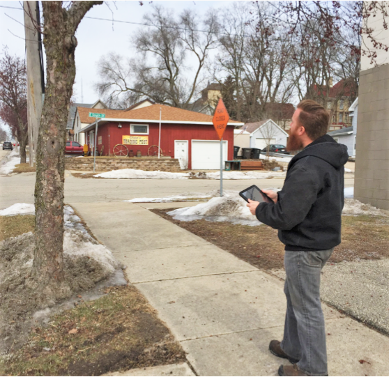
Managing tree inventory with GIS is a uniquely streamlined — yet highly customized —maintenance approach. If a tree is flagged for maintenance requirements, it is easy to request a field inspection, whether the age of a tree signals a health inquiry, its proximity to overhead utility lines indicates a trimming need, or a resident notifies city leaders of a hazard concern. Forestry staff will immediately see the inspection request mapped in real time with the type of inspection to be performed. In the field, inspection notes and data are immediately logged through any mobile device. The inspector can rank tree condition, flag pruning or injection needs, track growth, clearance or the need for removal. When complete, the tree is marked for a maintenance work order, after which maintenance staff perform the work and record the date completed.
Reporting.
GIS mapping allows community leaders and foresters a comprehensive look at all collected urban forestry information through easily accessible tools: inventory applications and reporting dashboards. These tools provide real-time data, the ability to follow individual tree maintenance histories, query ongoing maintenance activities, prioritize workflows, and track progress and ownership of the work done. Working from a singular, cloud-based platform minimizes redundancy, maximizes accuracy and offers a common operational view of urban forest management.

Valuation.
GIS-based forestry management is also beneficial in helping to calculate the real-world value of a community’s forests. By frequently appraising tree health and adhering to a care and maintenance plan, this value only increases with time and has the potential to also be profitable to the community long after the tree dies. Dollars aside, healthy trees provide an immeasurable value to the communities they inhabit. They contribute to cleaner air, improve public health, bolster stormwater management, prevent soil erosion and bestow beauty upon their environments and the people who enjoy them.
When to begin—and how?
The short answer: the sooner, the better. Staying attuned to slight changes in the health of a community’s forests can mean generations-worth of enjoyment and cost savings. GIS helps community leaders, foresters, arborists and public works staff easily track inventory and maintenance, making efficient use of critical budget dollars. Contact us today to learn how GIS applications can be customized for your tree management needs.
“The GIS system makes it incredibly easy to find and utilize data while in the office. Additionally, I no longer have to write things down in the field and make the updates to the system while in the office. This ability saves me dozens of man hours each year while performing inventory updates. It also allows me to see information at a broader scale in order to make better decisions on the ground.”
City Forester – Stoughton, Wisconsin
