The Catfish Creek Watershed spans a diverse and picturesque 57 square miles, encompassing approximately half of the City of Dubuque, Iowa. It includes everything from industrial centers and residential neighborhoods to rolling cropland, steep bluff country and dense forests. The five forks of Catfish Creek support a variety of plants, animals and riparian ecosystems, which had become threatened by the large amounts of soil and nutrients entering the waterway from both urban and agricultural runoff.

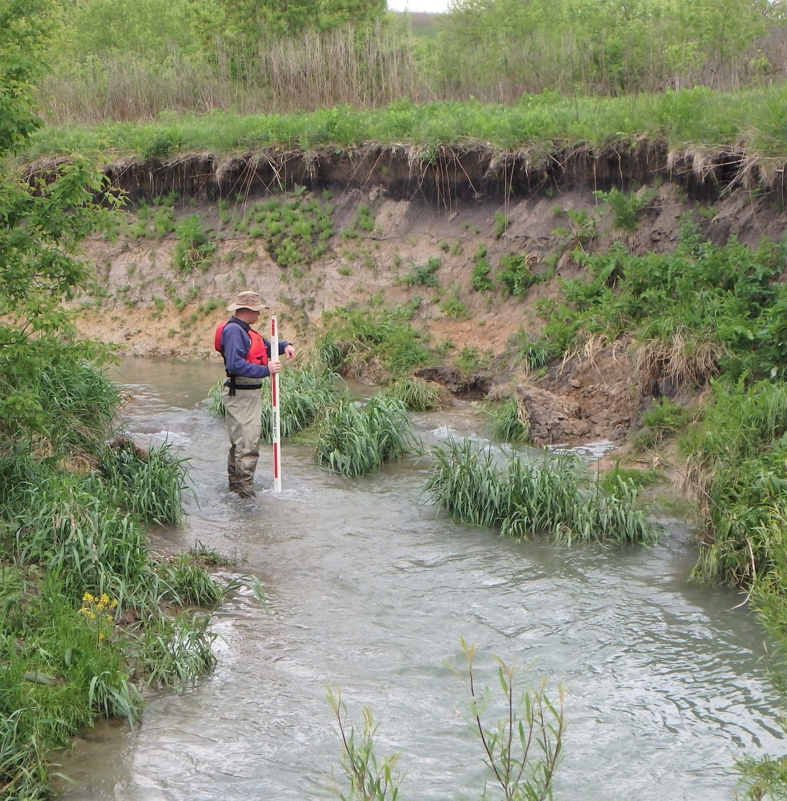
When the Catfish Creek Watershed Management Authority (CCWMA) developed a watershed-wide management plan, they identified the South Fork of Catfish Creek as one of the highest concentrations for nitrogen, phosphorus, and sediment loading. Steep, unstable banks that were heavily eroding afflicted the stream, and the adjacent wetland/upland areas were populated with invasive plant species including reed canary grass, multiflora rose and garlic mustard. MSA was selected to lead a streambank restoration project for the South Fork of the creek, with a primary goal of stabilizing the stream banks to prevent continued erosion and improving the terrestrial and aquatic wildlife and flora.
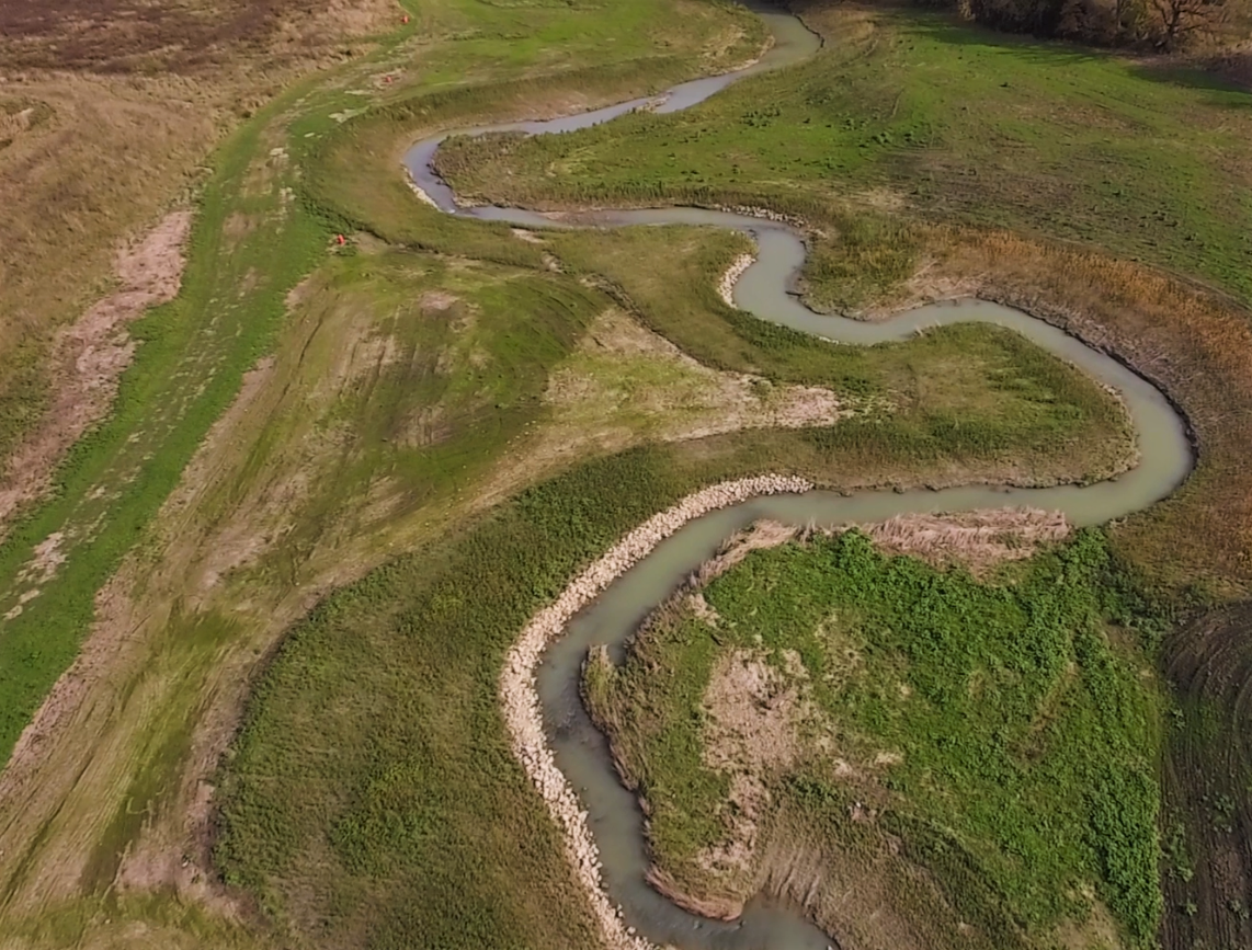
To develop a comprehensive stream corridor restoration plan, MSA divided the mile-long project limits into three distinct zones. The main zone consisted of approximately 3,000 feet of stream, which meandered widely within a substantial floodplain in the central portion of the project. Bank erosion through this area was extremely prevalent. The other zones were located upstream and downstream of the main zone. The upstream zone appeared to be more stable but still had several major bank failure areas. The downstream zone featured a bedrock outcropping along one bank, and did not suffer from the same severity of bank erosion as the other zones did.

The main focus of the project concentrated on the central zone. Originally, MSA observed two very large bends which differed greatly from the pattern in the remainder of the corridor. This observation led to the initial belief that the stream was likely to erode the high banks and perhaps ultimately cut the bends off, seeking to find equilibrium. However, MSA conducted a total of five different visual site inspections of the project corridor, plus a very detailed survey of the creek (gathering 72 distinct cross-sectional views within the 5,600-foot corridor). Through these multiple visual observations and a careful study of channel geomorphological calculations performed using the survey information, MSA ultimately determined that there was a distinct natural cause for the existing meander pattern: a very flat stream gradient caused by several underlying bedrock “ridges.” It became apparent that the stream was not likely to morph into a substantially different pattern over time. Thus, the design focus turned toward slope stability and vegetation management issues, rather than total stream relocation.

While defining the critical areas for restoration, it was recognized that restoring the entire floodplain corridor — several hundred feet wide — would actually produce a much more effective and sustainable end product. Such an effort would fully eradicate invasive species and not leave just a small restored buffer area (25 feet wide, as originally requested by CCWMA) that was susceptible to re-invasion. It was determined that this wide-scale restoration could be done at a cost not substantially greater than the effort to create and maintain a small buffer.
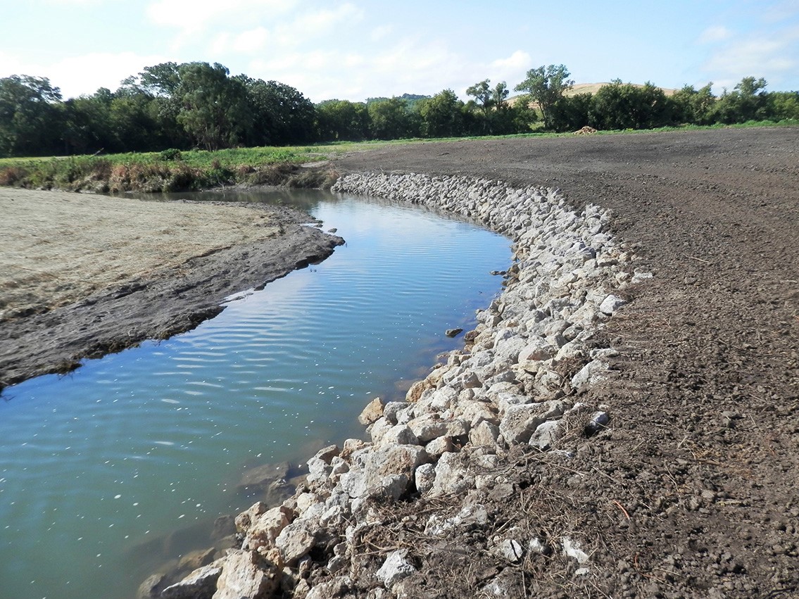
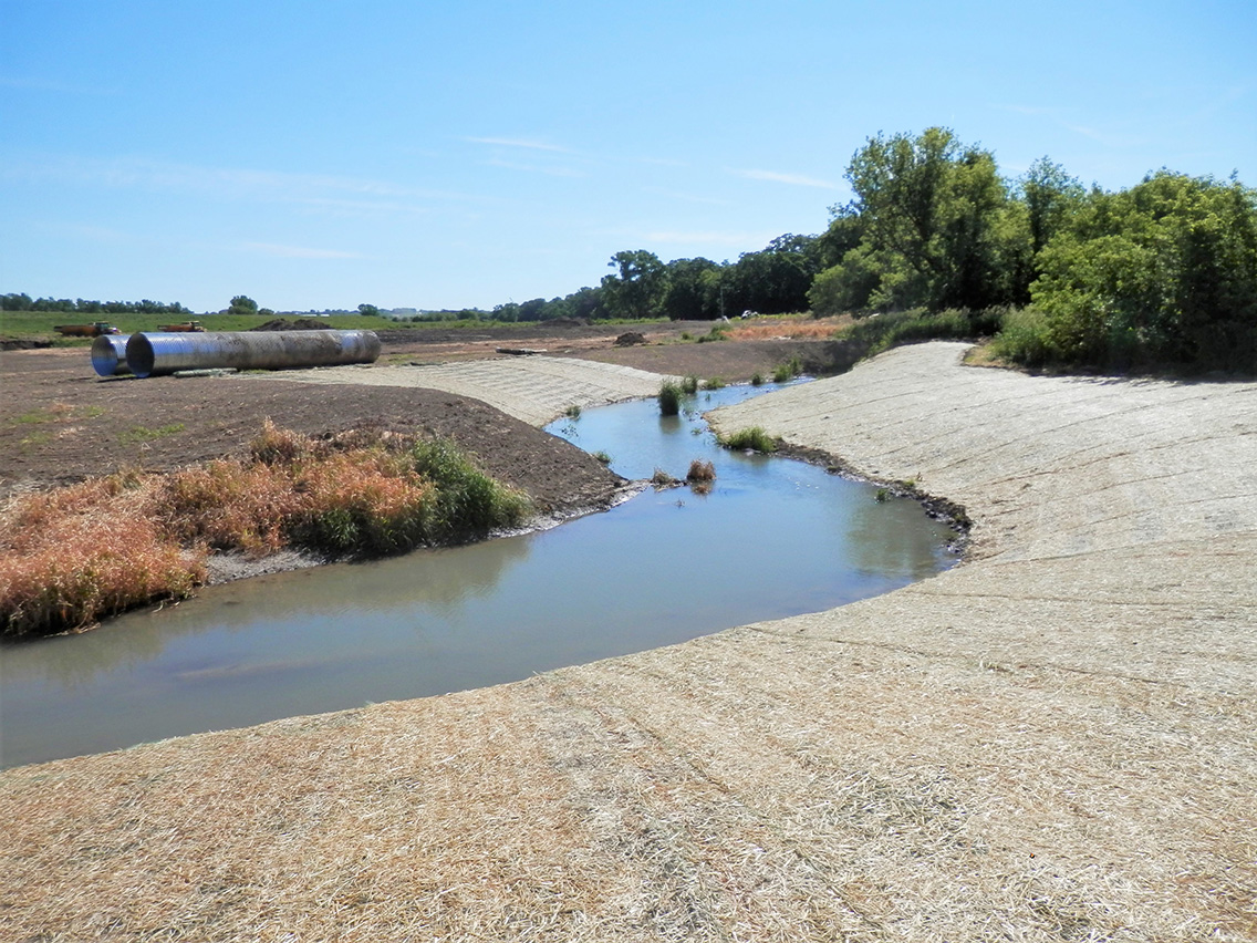
Ultimately, the final design included slope laybacks for the majority of the problem areas which achieved a stable bank slope. Native grasses and wildflowers were introduced in lieu of rip-rap, providing a more natural habitat and integrating more readily with the restoration of the corridor as a whole. In areas with short-radius stream bends, longitudinal peaked stone toe protection was employed. One short stretch of channel was relocated entirely to move the channel away from a large cut bank, preventing the eventual delivery of up to 600 cubic yards of sediment to the stream.
Construction was completed in the summer of 2017.

