GIS utility mapping for large-scale sanitary/stormwater system separation.

Pushed to the limit
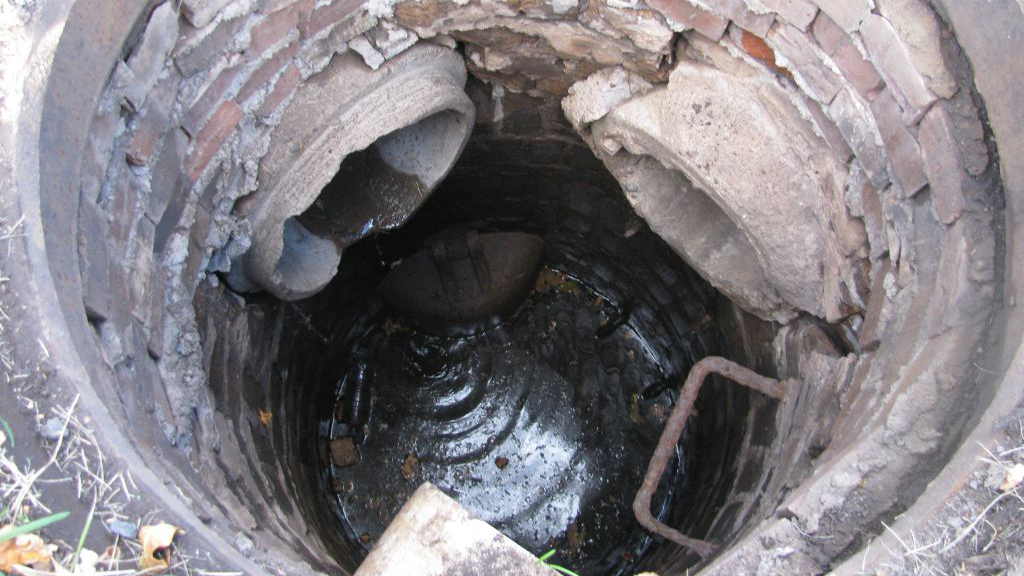
The City of Superior, Wis., is facing a common problem for older communities—a combined sanitary and storm system that is pushed to the limit during large rain events. Rainwater enters the sanitary system and is treated along with traditional wastewater before exiting the system. The infrastructure can manage during normal low-flow conditions, but is put under significant stress when rainfall intensity increases. A complete system separation would be ideal, but it is a costly undertaking and will need to be completed in phases. Where should the City begin? Which areas are the most problematic and therefore should be tackled first?
To answer these questions, it is critical to find a strong team with the necessary skills to model the system, specifically a water resources engineer paired with a GIS analyst.
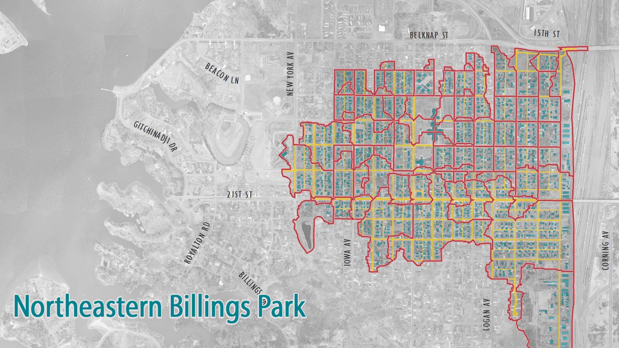
The combined system in Superior’s northeastern Billings Park neighborhood was modeled using powerful hydraulic and hydrologic modeling software (XPSWMM), which requires detailed informational input about the pipe network: pipe lengths, pipe materials, pipe diameters, pipe inverts, inlet locations and manhole rim elevations. Luckily, the City already had a GIS system in place.

Leveraging the power of GIS
Leveraging the powerful analytical tools within GIS allowed for quick identification of potential issues in the system (e.g. back-sloped pipes, incorrect connectivity and missing attributes) that needed to be addressed prior to modeling. The team coordinated with the City for additional surveying to fill in these data gaps before using the GIS framework to quickly build a complete model.
Much of the intense GIS work took place behind the scenes, with continuous communication between the GIS analyst and the water resources engineer. This allowed for the GIS data to fit flawlessly into the modeling framework, which maximized efficiency in the model development, provided confidence in the outputs and allowed more time to study potential system upgrades. While GIS as a tool is inherently valuable, even more so is a close-knit team of practitioners—a partnership of individuals who understand the nuances of system modeling and GIS data management.
Subsequently, the City of Superior was able to successfully integrate the modeling output into their future planning efforts, and move forward with the long-term goal of complete system separation.
