In 1865, the discovery of gold in northern Minnesota led to a flurry of activity and the Vermilion Lake gold rush. Only tiny amounts of gold were actually recovered, embedded in quartz and difficult to mine – not to mention, scarcely profitable. Gold prospectors abandoned the area shortly thereafter, but the accidental discovery of iron ore along the way convinced many to stay. As is turned out, the iron would prove immensely more valuable to the area – spurring decades of mining activity and naming this portion of St. Louis and Lake Counties the “Iron Range.”
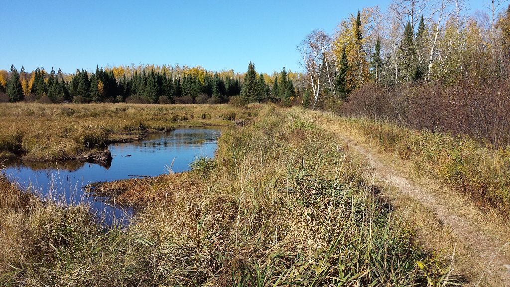
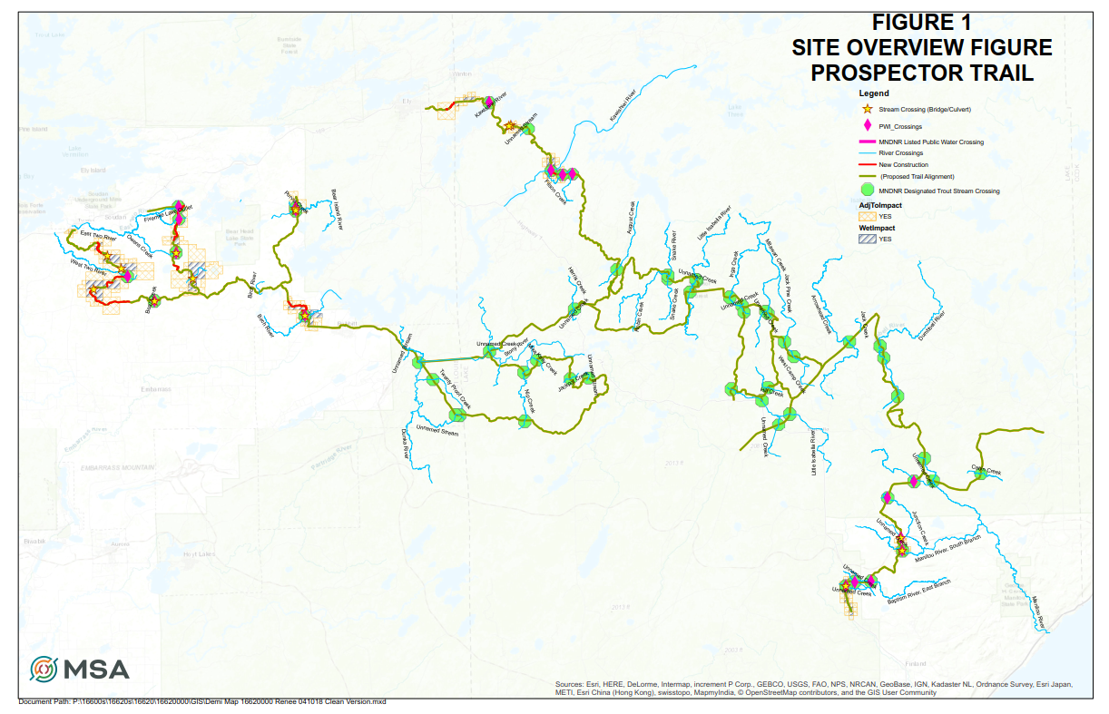
Prospector Trail pays homage to the historical roots of the area. This aptly-named ATV trail system routes through much of the territory that early prospectors traveled, and when complete, will connect the five communities of Ely, Babbitt, Embarrass, Soudan and Tower – all of which were influential early mining villages.
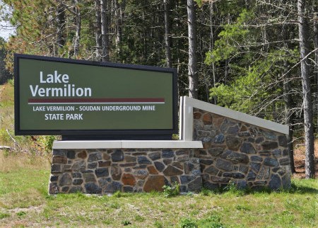
The 130-mile new trail will also connect several parks in the region including the Iron Range Off-Highway Vehicle Recreation Area, Bear Head Lake State Park and Lake Vermilion-Soudan Underground Mine State Park, as well as feed into the Lake County Regional ATV Trail which leads to the North Shore of Lake Superior. The goal is to provide off-road enthusiasts the opportunity to safely explore the north woods, while also being able to access amenities such as food, lodging and fuel, in each of the communities along the route – providing an added boost to the tourism economy.
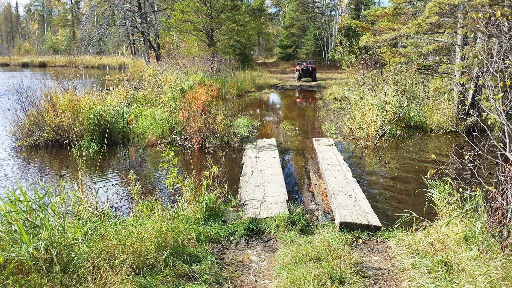
The Trail Prospectors Alliance has led the project, establishing the preferred trail routes, coordinating efforts with local recreational clubs and helping to secure funding. MSA was asked to provide wetland delineations for over 100 miles of the trail as well as the compilation of a permit application (totaling 1,087 pages) for approval by the Minnesota Board of Water and Soil Resources (BWSR), Minnesota DNR and the U.S. Army Corps of Engineers. The MSA environmental services team worked closely with trail community governments, local legislators, the U.S. Forest Service, U.S. Army Corps of Engineers, Minnesota Board of Soil and Water Resources, North St. Louis and Lake County Soil and Water Conservation Districts and the Minnesota DNR in order to complete the study. MSA’s scope of work included the analyses of multiple river and stream crossings—containing either bridges or culverts—DNR-listed public water crossings, numerous DNR-designated trout stream crossings and the review of dozens of wetland impact zones.
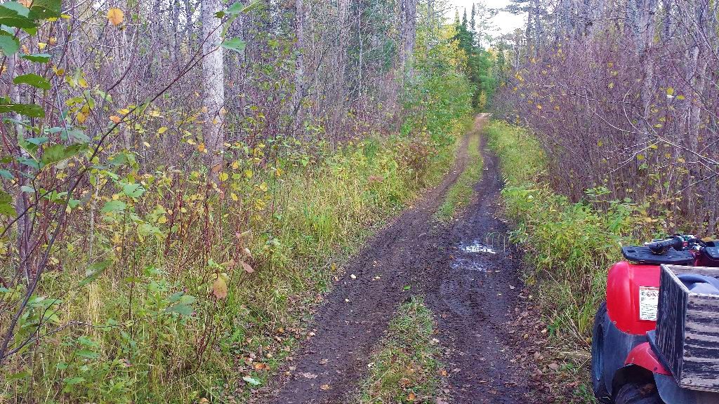
When complete, the trail will be open to both Class 1 and Class 2 ATVs, off-highway motorcycles and some segments open to off-road vehicles as well as equestrians. In conjunction with adjoining, pre-existing trails, the entire system will span well over 200 miles, with future potential to link with even more miles of trail system. MSA completed wetland delineations in the fall of 2015 and received the Prospector Trail wetland and stream crossing permit in May of 2019.
This highly-anticipated project has locals, ATV enthusiasts and project stakeholders preparing for an influx of tourism and traffic from outside locales. They expect Prospector Trail to be the newest—and extremely popular—trail within just hours of metropolitan areas such as the Twin Cities, Duluth, Fargo/Grand Forks and Thunder Bay, Ontario. This exciting new recreational trail is sure to attract newfound attention from locals and visitors nationwide, with meaningful and significant impacts to the communities along its route.
