Converting a cloverleaf into a diamond
Project surveying means a willingness to be out in the elements.
In south-central Wisconsin in late autumn, this can mean collecting data in adverse weather conditions. Pair that with a project location at the confluence of three major interstate highways, high traffic volume, and a condensed WisDOT timeline, and you have 6,000 linear feet of challenging work ahead of you.

This interchange survey was completed for the WisDOT near Lodi, Wisconsin, and required the utmost attention to detail and safety.
High-test tools for a high-risk roadway
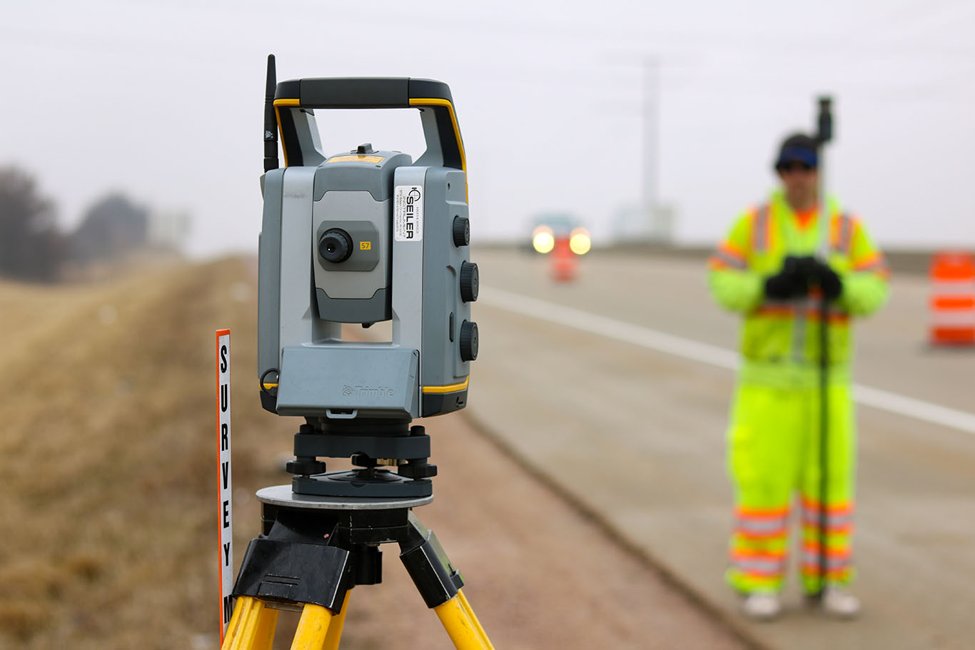
As part of a broader 10,000-linear-foot road reconstruction project, the survey was ultimately done to increase safety by converting the roadway junction from a partial cloverleaf to a diamond interchange. To ensure accuracy, establish control, and create the highest degree of efficiency, it was imperative to use the best tools for the job. MSA employed the use of a Trimble S7 Robotic Total Station, a Trimble DiNi digital level and GPS rovers for data collection, then transferred information to the Trimble Business Center, a field-to-finish CAD software, for processing. AutoCAD C3D was then used to transform the processed data into 3D metadata in .DWG format.

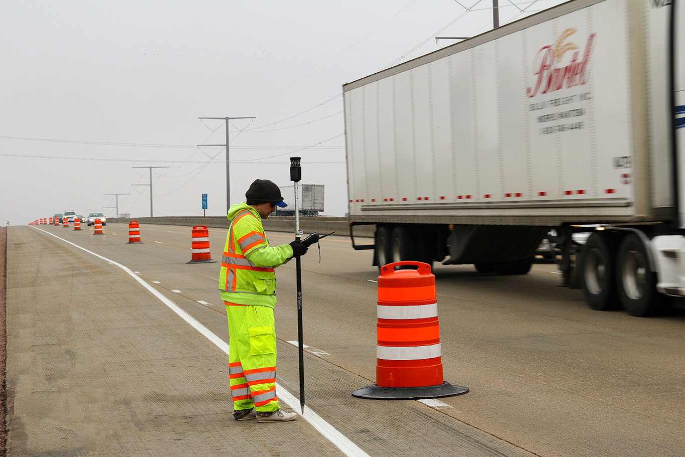
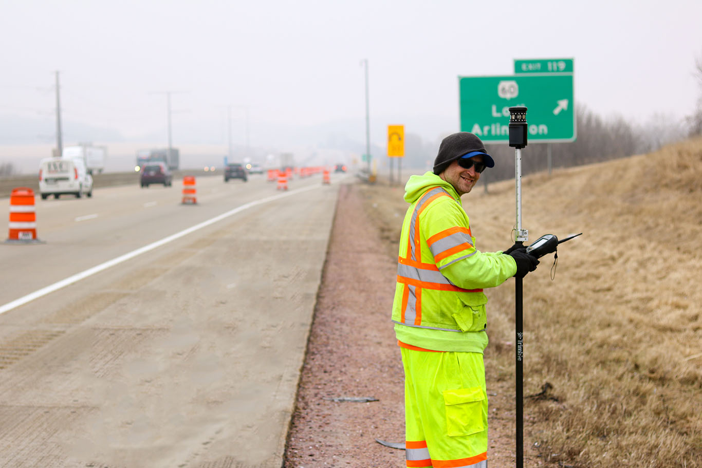
The survey work itself provided a number of challenges in the field. Inclement weather, high traffic volume, a blind intersection hill and trying cross-section ramp work required the utmost of attention to safety detail. Full American National Standards Institute (ANSI) Certified Class 3 safety vests and pants were required on the job site. Class 3 is the highest level of ANSI gear, “for workers in the highest-risk situations who need to be visible through a full range of body motions from a minimum distance of 1,280 feet, and who are exposed to very high-speed traffic” (from ANSI certification standards).
The survey work was performed directly on the interstate roadway, within lanes of active traffic. Low-angle morning sun and frosty conditions combined with extremely limited sightlines due to surrounding hills and crossing exit ramps provided workers with minimal reaction time and the need to be acutely aware of every movement within a 360-degree view at all times.
Safe, successful solutions
Despite the challenges of the project, the MSA survey crew completed the project with confidence and success. Our surveyors’ collective years of expertise helped ensure that the survey was completed with zero incident, with accuracy and efficiency, and within the necessary timeline. The result is a safer, more user-friendly route of transportation for those traveling through the beautiful landscape of south-central Wisconsin.

