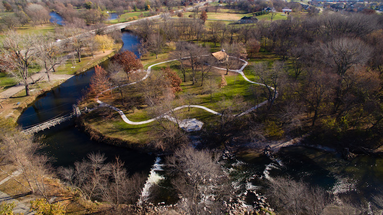
From the ground, it can be difficult to understand exactly what’s happening in a large space, pinpoint where problem areas exist or picture the potential of a project or site. But from the air, you can see it all more clearly.
Aerial drone-based imagery delivers affordable insight and analysis.
The pilots, surveyors, video editors and marketers who make up the MSA Aerial Solutions team are highly experienced with capturing aerial photos and videos that deliver a wealth of information about vast areas in a highly effective and efficient manner. These resources add value to a wide range of applications and can be used for crop scouting and irrigation inspections, analyzing infrastructure in real time, and gathering data for surveying projects. Developers can gain a bird’s eye view of potential sites and make use of 3D modeling for planning and public engagement purposes. Photos can also do wonders for mapping and marketing projects.
The remote pilots at MSA hold Airmen Certificates for Small Unmanned Aircraft Systems (sUAS) and have the expertise and resources to deliver photos and videos that can help you achieve your specific project goals.
Improve decision-making and project promotion.
If you’re looking for a cost-effective way to get an invaluable view of the land, the MSA Aerial Solutions team is ready to help. Let us bring a new perspective to your projects that can help with everything from expediting work, to evaluating alternative project sites or ideas, to gaining stakeholder buying and promoting your project’s ultimate success.

Featured Projects
Contact us to get the conversation started. And learn more about how MSA can be a trusted partner in meeting your community or development goals. For survey requests, please click here to fill out our survey request form.

