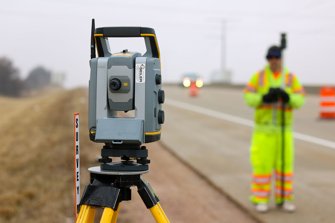
Municipalities, developers, farms and transportation agencies need accurate information about the land they own and their boundaries before a project can start. Whether a project is receiving public or private funding, understanding the situation on the ground is often a prerequisite for financing. Just as important, quality surveys identify property rights and help stave off conflicts and boundary disputes down the road. When you know exactly what you have and where it is up front, you can plan a viable, more successful project.

Access surveying expertise tailored to your unique needs.
With roots in surveying that reach back to 1919, MSA offers unparalleled expertise to help expedite and ensure the highest quality results on a variety of surveying projects, including land, subdivision, right-of-way and utility surveys. You can count on a consistent process and dependable results delivered to the highest standards. Our land surveyors use the latest in geometric technology and are continuously working to incorporate new capabilities. Our commitment to using the latest technology lets us address your needs faster and most cost-effectively, delivering the information you need to move your project forward.
Good fences make good neighbors.
The same can be said about property lines, and what happens within the boundary of those lines. From municipal roads and sidewalks, to the private landowner wishing to put an addition on his or her home, an accurate survey of existing conditions and the extents of ownership allow for the full use of the property without encroaching on the rights of others. By identifying these “ground truths,” you will enjoy the peace of mind that your project has been well thought out, and that solutions were determined before a challenge occurred. The benefit of this process extends beyond your property and onto that of your neighbor. Everyone appreciates the security of knowing that they are not being encroached upon, and that is as good as any fence.
And, surveying isn’t limited to the ground. Almost every project starts with research; whether it be deeds and maps, or elevations and flood zones, the first step to every project is finding the historical data that applies to the project scope. Armed with an intimate knowledge of the site the surveyor will collect site features and occupational evidence specific to the project needs. Back at the office the information gathered is carefully analyzed and used to create maps, designs, plans, property descriptions and layouts. These items can be used for many purposes; from historic preservation to permitting, organized lot creation to construction staking, our professional land surveyors can assist efficiently and effectively.
Be confident in your project’s success.
Quality surveying lays the foundation for a successful project, especially when it’s delivered by expert professionals committed to understanding the big picture. From the most complex projects to the simplest needs, MSA is ready to deliver information and services you can build your future on.
- Land surveys (boundary location or establishment)
- Subdivision surveys
- Regulatory assistance (e.g., with zoning or subdivision approval)
- Topographical surveys for development projects
- Redevelopment/streetscape surveys
- Infrastructure/facility design surveys
- Right-of-way surveys
- Public land survey system
- Surveys and monument perpetuation
- Utility surveys
- Flood elevation surveys
- Inventory/classification/priority ranking
- Construction staking
- Quantity determinations
- Record drawing survey and preparation
- Control surveys for environmental assessments
- ALTA/NSPS land title surveys
Featured Projects
Contact us to get the conversation started. And learn more about how MSA can be a trusted partner in meeting your community or development goals. For survey requests, please click here to fill out our survey request form.

