Challenging an inexcusable statistic
424,066. This is the reported number of children missing in 2018, according to the FBI’s National Crime Information Center (NCIC). Nearly half a million children, and unfortunately, there are many others who have never been reported.

Public safety officers and law enforcement agencies now have access to a mobile app that will more efficiently—and more effectively—help with recovery efforts in the event of a child abduction.
The MSA GIS team configured an operations response app based on the Web AppBuilder for ArcGIS. This Child Abduction Recovery App is an at-the-ready, at-your-fingertips real-time GIS platform that provides officers, dispatchers, investigators and community volunteers the ability to better organize, map and track their recovery efforts.
Full-scale in the Dells
The app is currently being implemented for the first time in central Wisconsin. MSA was recently proud to be part of an important emergency response exercise training held by the Juneau, Adams and Wood County Child Abduction Response Team where an introduction to the capabilities of the app helped frame how a thoughtfully-organized emergency response effort—with the correct tools and implementation—can be extremely successful.
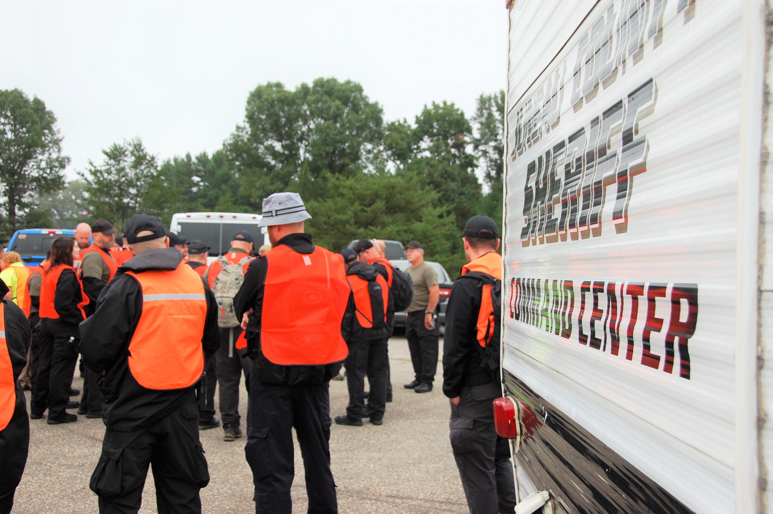
The event took place on the outskirts of Wisconsin Dells on September 19, 2018 and was one of significant planning and proportions, involving nearly 125 regional public safety officers, response crew members, administrative experts and citizen volunteers who gathered to strategize and train for a happy ending to the story of any parent’s worst nightmare.

Training day
The exercise was set up to train participants and gain proficiency in the following areas: Incident Structure, Command and Documentation, Communications, Volunteer Coordination, Search and Rescue, Advocacy, Legal Considerations and GIS Mapping.
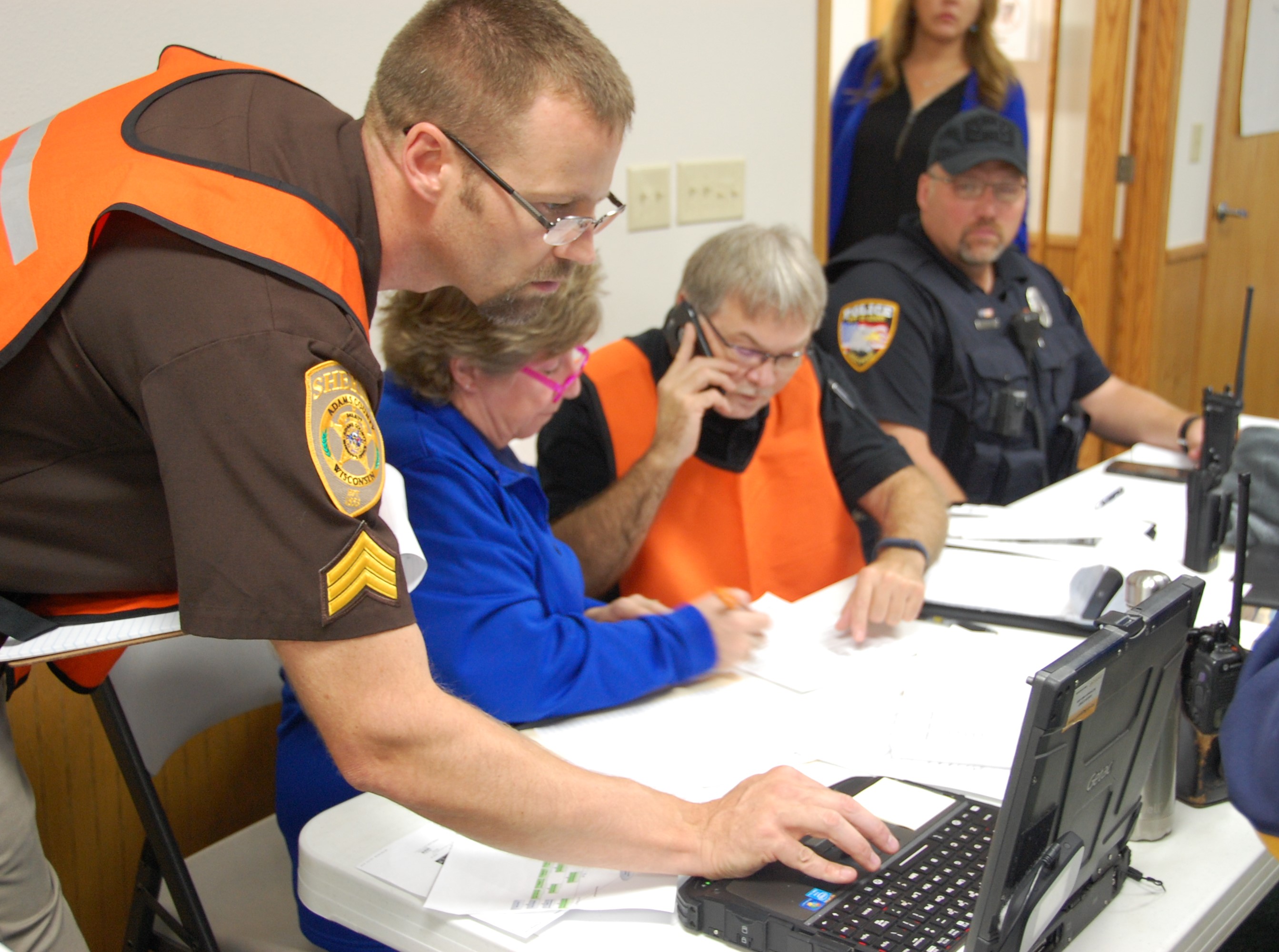
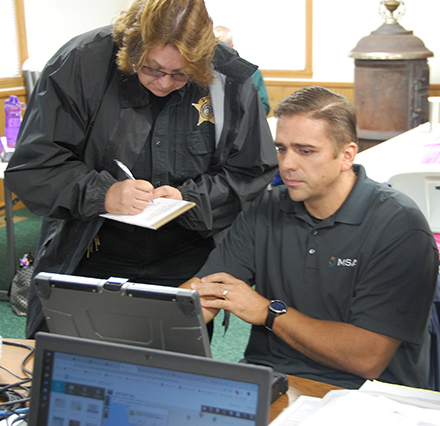
Members of the MSA GIS team were positioned in the Incident Command Post group located at the Town Hall the morning of the exercise. The hall was filled with computers, monitors and mobile devices, with participants accessing the new web-based app and viewing results as projected on a big screen. Outside, a mass of over 100 other volunteers gathered to await debriefing and directions. The operations team consisted of air support in the form of helicopter and drone pilots, search and K9 teams, and a field operations team consisting of neighborhood canvassers and evidence collectors. Additionally, the intelligence team was on hand, ready to analyze a cross-section of the regional sex offender registry, cell phone and computer forensics. Communications, resources, medical and food units were also preparing, all ready to assist the tri-county dispatch and command unit with the simulated abduction recovery exercise.

Missing girl, 11 years old
When it was time, a mock victim description was given: 11-year-old girl. She should have ridden the bus to school, but did not get on board and was reported missing to the police after the school notified her parents that she did not arrive as planned.
The first step was to map where the child was last seen and find all registered sex offenders within a four-mile radius. The app proved to be an invaluable tool at this stage, quickly mapping search areas and pulling a list of registered offenders and offender locations within the defined area. With a quick tap, the app leads to corresponding spreadsheets where users are able to track tattoos, scars or other identifiable markings of offenders, as well as alias names used and vehicles driven. This spreadsheet can then be cross-referenced by a canvassing and search team on the ground who commence door-knocking and interviews throughout the affected neighborhoods.
Targeted search, successful rescue
The next step was to track and pinpoint any collected evidence or leads in the field.
In this exercise, the alleged victim’s cell phone recorded a GPS location in a junkyard approximately a quarter mile from her last known location. The GIS team was able to provide the aerial and ground search teams with the coordinates in order to target that locale. Maps were generated on-site and with specific information related to area topography and landmarks that proved instrumental to the search groups, who had not all received training on the app yet.
A single child’s shoe was discovered another quarter mile down the road, prompting a second ground support team to investigate that particular lead. A discovered green backpack activated yet a third search team, which reported seeing a truck with Illinois plates driving through the search area.

The vehicle description was reported back to the command center and cross-referenced against the list of registered sex offenders, which can be optimized to provide home and work addresses as well as known relative locations, if necessary. Before long, the response team found a possible match with an offender who happened to also have family ties in the area. An APB was put out and the truck was pulled over with the missing girl in the back seat, alive and well.
Ongoing implementation
Success. The organization and execution of the training returned the missing child to her home. Does this single-day exercise prepare us for the real deal? We hope to never need to find out, but the short answer is yes. With a bit of further implementation and recurrent education, the emergency response team is more wholly prepared to employ this comprehensive recovery plan.
Nearly half a million missing children per year is an inexcusable number. As communities and law enforcement agencies, we can design programs and channel efforts to combat this statistic and return missing children safely to their families.
Thanks to the Juneau, Adams and Wood counties for leading the way in this important cause.
Read more about the capabilities of the app here or learn how MSA’s GIS services can make improvements in your community.

